风下之乡
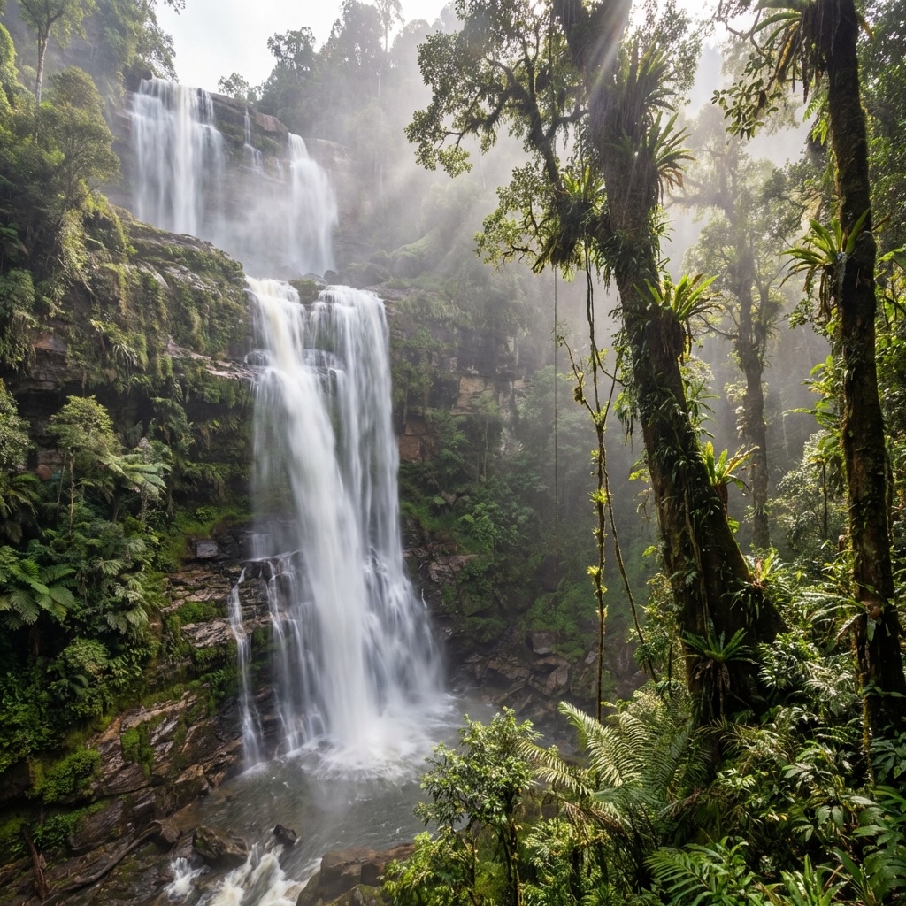
“风下之乡”这个称号源于沙巴位于台风带以南的独特地理位置。这提供了一个稳定、平静的热带气候,培育了一些世界上最复杂的生态系统。
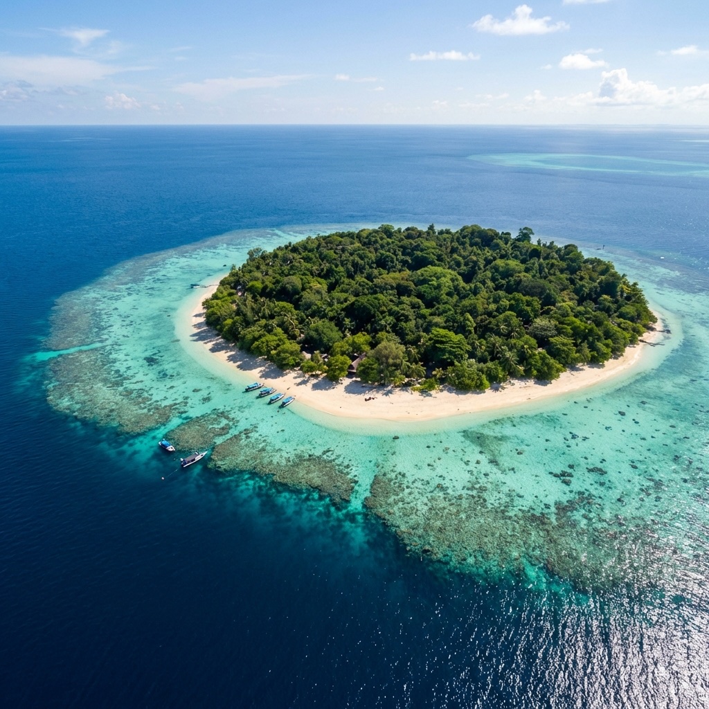
沙巴战略性地位于苏禄海、西里伯斯海和南中国海的交汇处,是定义马来群岛北端的海洋和生态门户。
世界级生物多样性
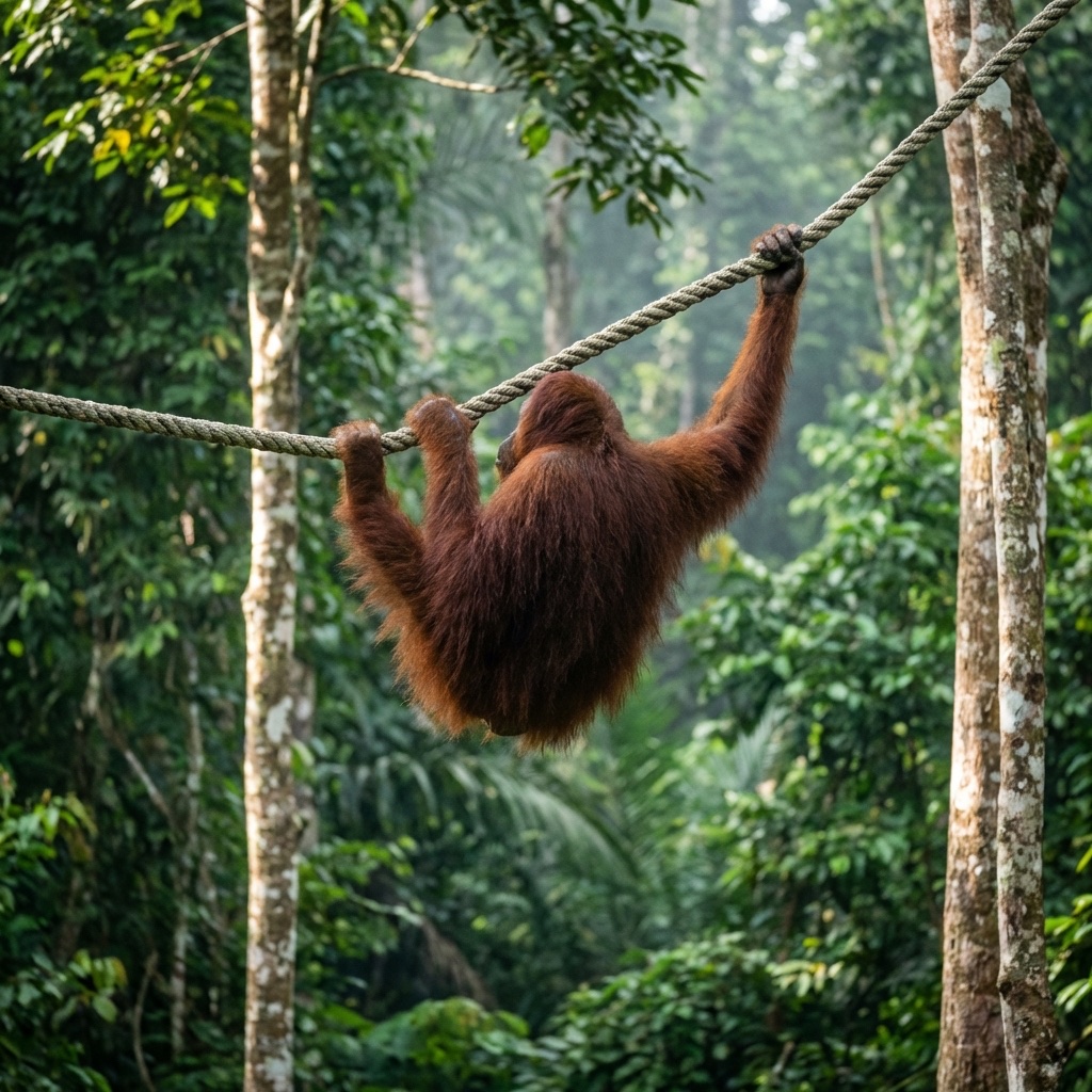
沙巴是全球生物多样性热点地区。其雨林是成千上万物种的家园,其中许多是婆罗洲特有的。从世界上最大的花朵到最小的象,这里的生命多样性令人惊叹。
联合国教科文组织 三冠王
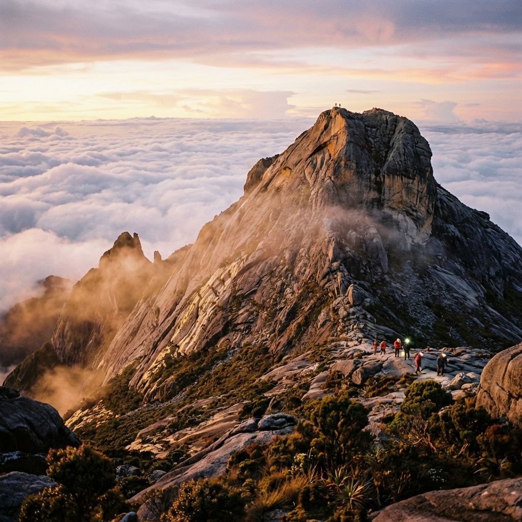
沙巴拥有承办 联合国教科文组织三冠王 遗址——京那巴鲁公园的罕见荣誉。这一声望卓著的地位承认该地区为世界遗产地、生物圈保护区和全球地质公园。
-
01.
世界遗产地
因其杰出的普遍价值和植物多样性而获得认可。
-
02.
生物圈保护区
管理社会与生态系统之间互动的活态实验室。
-
03.
全球地质公园
庆祝克罗克山脉独特的地质遗产和构造地貌。
Administrative Divisions
Explore the five provinces of Sabah through our interactive geography portal. Hover over each region for administrative insights.
5 Divisions, 27 Districts
Sabah's governance is decentralized across five divisions, ensuring regional development tailored to each province's unique economy—ranging from maritime trade to highland agriculture.
Provincial Hubs
- WEST COAST: Kota Kinabalu (State Capital)
- SANDAKAN: Nature & Conservation Hub
- TAWAU: Maritime & Tropical Archipelago
- INTERIOR: Cultural & Highland Heart
- KUDAT: Tip of Borneo Heritage Zone
Tropical Precision
Sabah enjoys a equatorial climate with high humidity and temperatures ranging between 27°C to 34°C in the lowlands, and significantly cooler profiles in the highlands (15°C to 24°C).
Dry Season
March to September. Optimal for diving and Kinabalu climbing.
Wet Season
October to February. Characterized by lush landscapes and heavy afternoon showers.
Historical Timeline
Understanding the tectonic shifts that shaped modern Sabah’s identity.
Sultanates of Brunei & Sulu
Control was divided between the Sultan of Brunei in the west and the Sultan of Sulu in the east, establishing the initial maritime trade routes.
British North Borneo Company
The British North Borneo Chartered Company began formally managing the territory, establishing modern administrative systems and industrial farming.
Sovereignty & Malaysia
Sabah gained self-governance on August 31, 1963, and co-founded Malaysia on September 16, 1963, preserving substantial state autonomy.