Discover Sabah
The authorized intelligence on the geography, heritage, and biological wonder of The Land Below The Wind. From ancient primary rainforests to world-class marine clusters.
Land Below The Wind
The moniker "Land Below The Wind" originates from Sabah's unique positioning just south of the typhoon belt. This provides a stable, calm tropical climate that has fostered some of the world's most complex ecosystems.
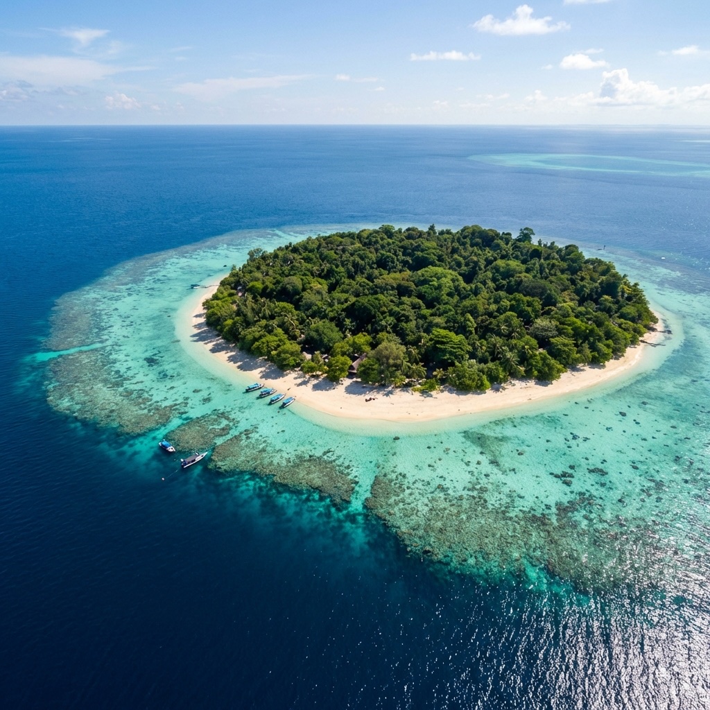
Strategically located at the crossroads of the Sulu, Celebes, and South China Seas, Sabah is a maritime and ecological gateway defining the northern extremity of the Malay Archipelago.
World-Class Biodiversity
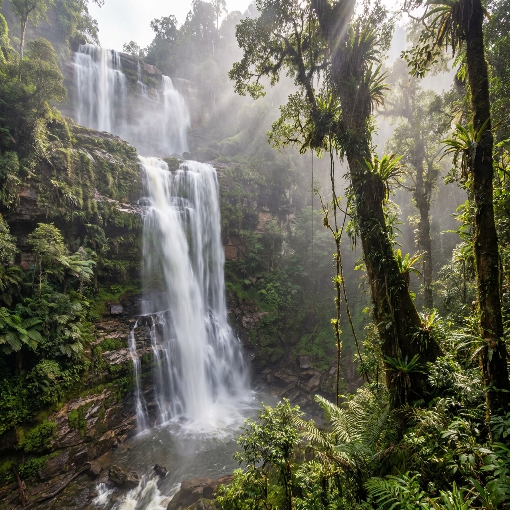
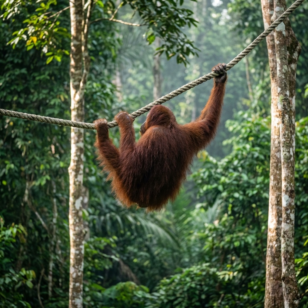
Sabah is a global biodiversity hotspot. Its rainforests are home to thousands of species, many of which are endemic to Borneo. From the world's largest flower to its smallest elephant, the variety of life here is staggering.
UNESCO Triple Crown
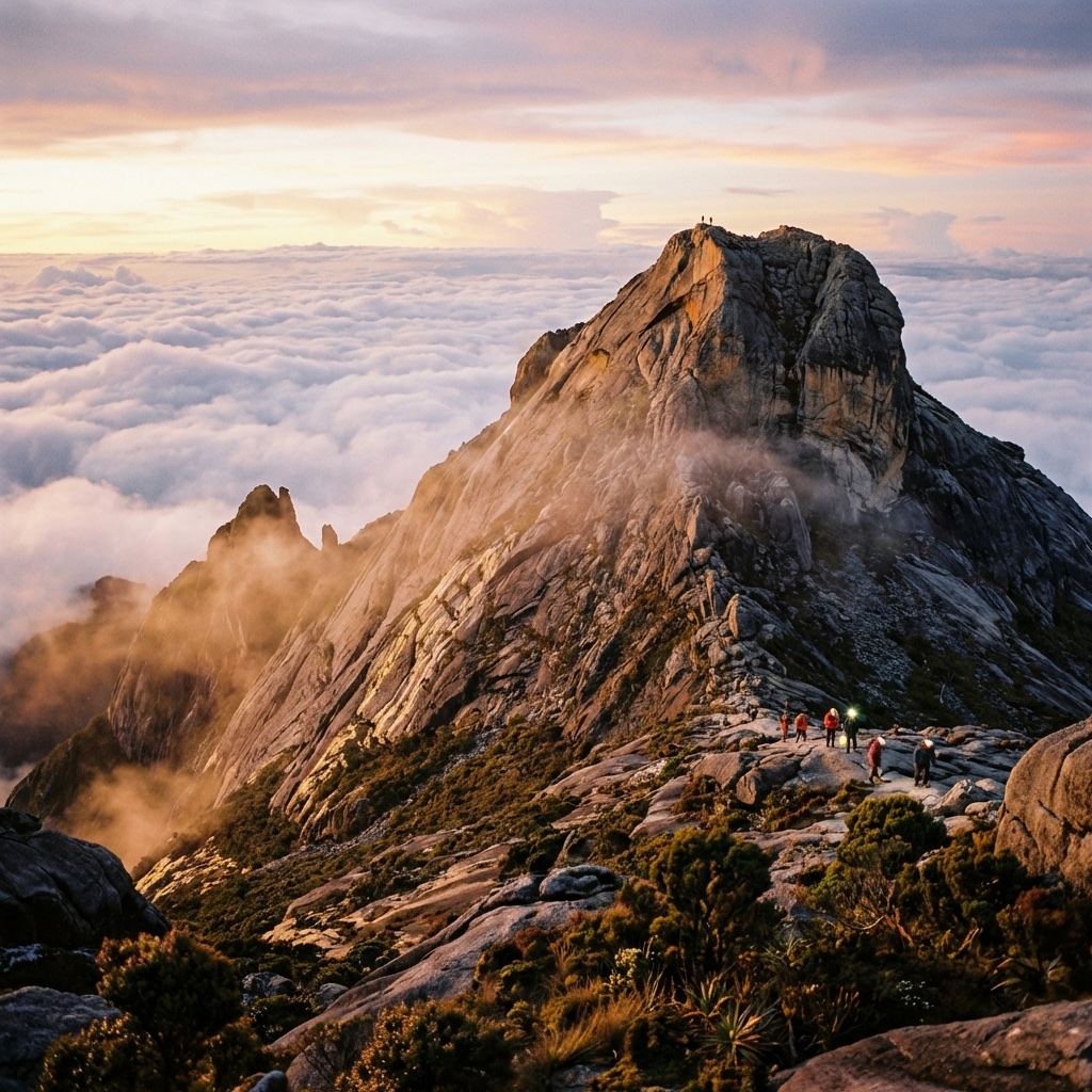
Sabah holds the rare distinction of hosting a UNESCO Triple Crown site—Kinabalu Park. This prestigious status recognizes the area as a World Heritage Site, a Biosphere Reserve, and a Global Geopark.
-
01.
World Heritage Site
Recognized for its outstanding universal value and botanical diversity.
-
02.
Biosphere Reserve
A living laboratory for managing interactions between social and ecological systems.
-
03.
Global Geopark
Celebrating the unique geological heritage and tectonic formations of the Crocker Range.
Administrative Divisions
Explore the five provinces of Sabah through our interactive geography portal. Hover over each region for administrative insights.
5 Divisions, 27 Districts
Sabah's governance is decentralized across five divisions, ensuring regional development tailored to each province's unique economy—ranging from maritime trade to highland agriculture.
Provincial Hubs
- WEST COAST: Kota Kinabalu (State Capital)
- SANDAKAN: Nature & Conservation Hub
- TAWAU: Maritime & Tropical Archipelago
- INTERIOR: Cultural & Highland Heart
- KUDAT: Tip of Borneo Heritage Zone
Tropical Precision
Sabah enjoys a equatorial climate with high humidity and temperatures ranging between 27°C to 34°C in the lowlands, and significantly cooler profiles in the highlands (15°C to 24°C).
Dry Season
March to September. Optimal for diving and Kinabalu climbing.
Wet Season
October to February. Characterized by lush landscapes and heavy afternoon showers.
Historical Timeline
Understanding the tectonic shifts that shaped modern Sabah’s identity.
Sultanates of Brunei & Sulu
Control was divided between the Sultan of Brunei in the west and the Sultan of Sulu in the east, establishing the initial maritime trade routes.
British North Borneo Company
The British North Borneo Chartered Company began formally managing the territory, establishing modern administrative systems and industrial farming.
Sovereignty & Malaysia
Sabah gained self-governance on August 31, 1963, and co-founded Malaysia on September 16, 1963, preserving substantial state autonomy.